EXTENDED RANGE FORECAST OF ATLANTIC SEASONAL HURRICANE ACTIVITY AND LANDFALL STRIKE PROBABILITY FOR 2019
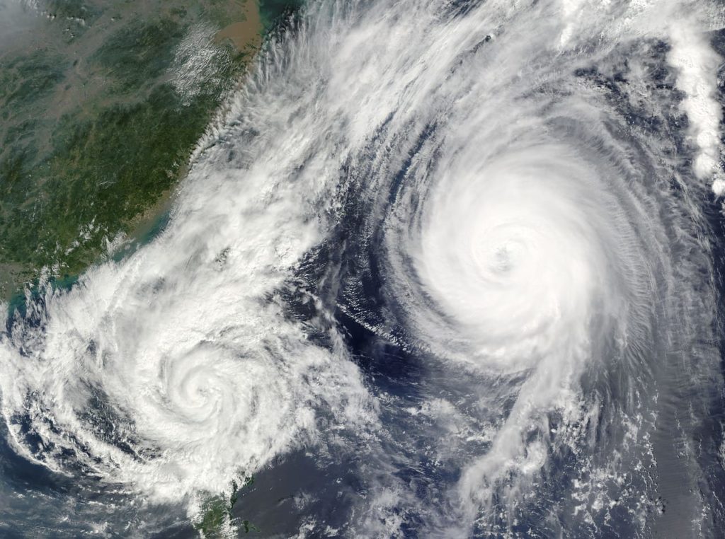
The countdown is on. We are less than two months away from the beginning of the Atlantic hurricane season on June 1st. As in each year in April, various universities and research organizations start talking numbers. In other words, they begin to assess the coming tropical season and offer early predictions for the 2019 hurricane season.
One of the most well-known prognosticators, Colorado State’s Tropical Meteorology Project, anticipates that the 2019 Atlantic basin hurricane season will have slightly below average activity.
The forecast is stating that a weak El Niño event appears likely to persist and perhaps even strengthen this summer/fall.
Sea surface temperatures averaged across the tropical Atlantic are slightly below normal, and the far North Atlantic is anomalously cool. The Atlantic Multi-decadal Oscillation index is below its long-term average.
Therefore, the team around Phil Klotzbach anticipate a slightly below-average probability for major hurricanes making landfall along the continental United States coastline and in the Caribbean. See here his article in the Washington Post.
2018 Hurricane season
In the 2018 hurricane season, we had 15 named storms developed in the Atlantic Ocean. Eight were hurricanes, and two were major hurricanes. One was Hurricane Michael. It has been one of the most intense hurricanes to ever hit the United States.
The old saying is ‘it only takes one‘.
As is the case with all hurricane seasons, coastal residents are reminded that it only takes one hurricane making landfall to make it an active season for them.

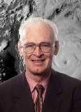
These seasonal forecasts were based on research by the late Dr. William Gray.
He was the lead author on these predictions for over 20 years. Later he continued as a co-author until his death in 2016.
“In addition to pioneering seasonal Atlantic hurricane prediction, he conducted groundbreaking research in a wide variety of other topics including hurricane genesis, hurricane structure, and cumulus convection. His investments in both time and energy to these forecasts cannot be acknowledged enough.” (Philip J. Klotzbach)
